Dalton Highway and Ambler Road Fish Contaminants Study
Background
Contaminants in northern Alaska freshwater fishes have not been well-documented previously, with only limited samples collected from a small number of species at few locations. Many northern Alaska fish species accumulate contaminants at concentrations high enough to be of concern for human consumption. Along the Dalton Highway and the proposed corridor for the Ambler Road, impending land use changes may result in mining development and contamination of waters and fish by heavy metals and Per and polyfluoroalkyl substances (PFAS) that are of concern for ecosystem health and human consumption. Multiple boreal and Arctic fishes are heavily utilized as subsistence food sources by Alaska Native Peoples and other rural residents. Consequently, healthy fish populations are critical to rural food security in Alaska. In addition, significant sport fishing effort and harvest occurs along Alaska’s northern road system. Thus, the contaminant loads in these fishes, and the possible health effects on subsistence and sport fishers that consume them, need to be assessed further. Given this, WCS collaborated with the Koyukuk National Wildlife Refuge to embark on a project assessing baseline levels of contaminants in fish and aquatic media in various waterbodies of the western Brooks Range.
Methods
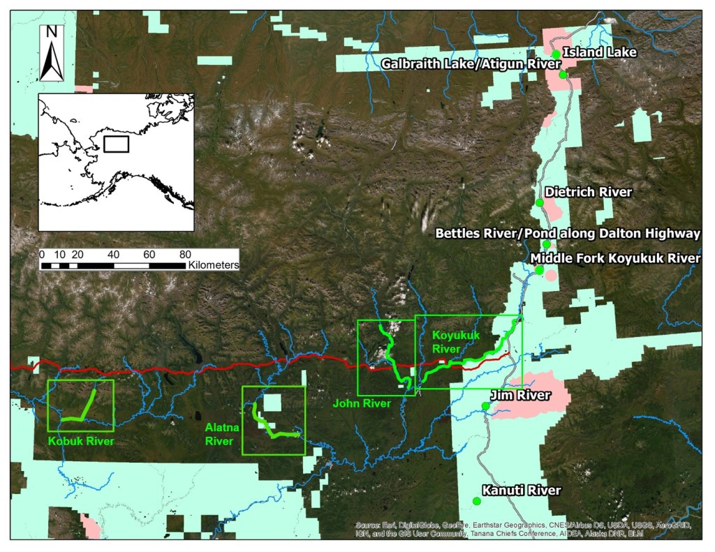
Slimy sculpin, fish species harvested for subsistence, aquatic invertebrates, periphyton, and sediment samples were collected for contaminants analysis at waterbodies within or adjacent to existing and historic BLM Areas of Critical Environmental Concern and lands along the Dalton Highway slated for possible land use change under alternatives of the 2020 Central Yukon Draft Resource Management Plan, which included 9 total locations in boreal and Arctic Alaska. Sampling was also conducted at sites along the Alatna, John, Koyukuk, and Kobuk Rivers that would potentially be affected by the proposed Ambler Road. Samples were shipped to a laboratory for mercury, copper, arsenic, zinc, lead, and PFAS analyses. Contaminant results were compared between sampling locations, fish species, and body sizes. Values were compared to results from historical studies, and assessments regarding the contaminant values found and applicable state and national fish consumption guidelines were conducted.
Results
See a detailed report published at the following URL for full findings: http://dx.doi.org/10.19121/2025.Report.51676
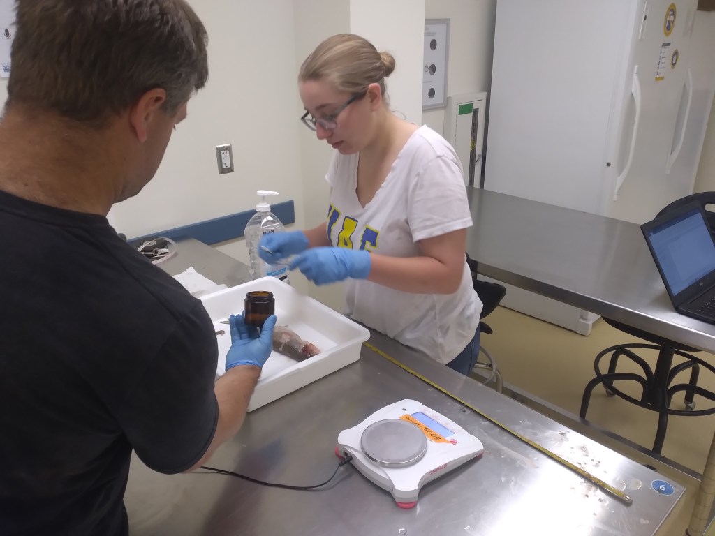
Fish, invertebrate, aquatic vegetation, and sediment collections were completed in August 2024 at all sites and samples were sent off to external laboratories for analyses.

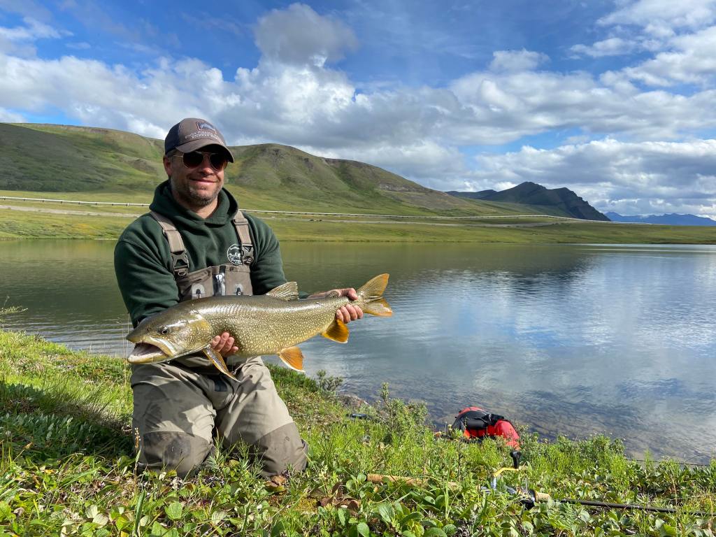
Slimy sculpin collected from the Middle Fork Koyukuk River in July 2023
Dalton Highway Sites
Levels of metals in fish and aquatic media were mostly within typical ranges seen in other fish contaminant studies from northern Alaska. However, mercury was elevated in sediment, vegetation, and invertebrates at the Island Lake site on the Arctic side of the Brooks Range (“Galbraith” site in graph below). The mercury levels in sediment at this site were above NOAA screening levels for “probable toxicity to aquatic life.” Similarly, but not shown on the graphs, sediment from a pond near Sukakpak Mountain was above screening levels for arsenic. It is possible that these elevated levels are caused by natural geologic processes, or this may be a sign of human impacts.
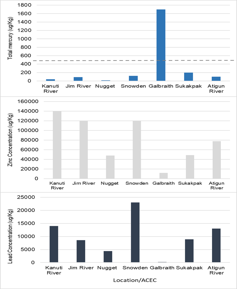
For fish, most of the metals that were tested for do not have consumption guidelines associated with them. However, the State of Alaska issues fish consumption guidelines for mercury for women of childbearing age, nursing mothers, and children. Only northern pike from the Kanuti River and a lake trout from Island Lake on the North Slope side (“Galbraith” in the graph below) had high enough levels to trigger advisories. Overall, no fish reached the “do not eat” threshold set by the State of Alaska.
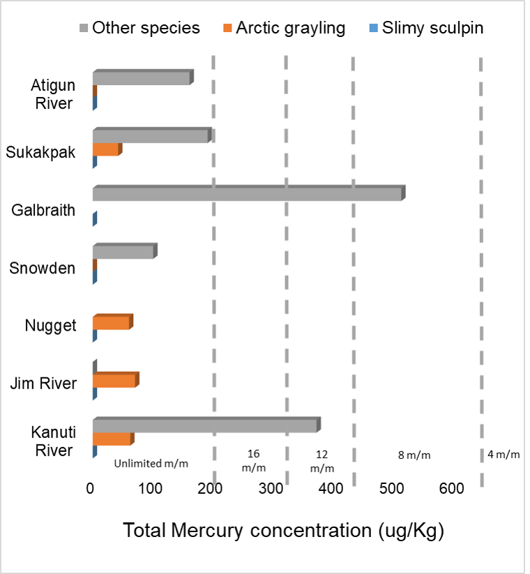
Despite likely impacts of historic and ongoing placer mining and the construction and use of the Dalton Highway, metals in aquatic media and fish appear to be at levels comparable with other parts of Alaska, such as the Yukon River drainage, and there is no strong indication of anthropogenic effects. This information will serve as important baseline values in the event that future development or climate change effects impact contaminant levels in aquatic environments of the Brooks Range.
PFAS: Elevated levels near Trans-Alaska Pipeline System Pump Station 4
Arctic grayling and round whitefish captured in the Tea Lake outlet near Pump Station 4 on the Arctic side of the Brooks Range had levels of PFOS (a type of PFAS) high enough to trigger fish consumption advisories in some states (though Alaska does not have guidelines yet). The levels were as high as 40 μg/kg, and warrant further investigation to ascertain the source and extent of the likely contamination. PFAS are linked to multiple negative health outcomes when ingested by humans and can be picked up through consumption of wild foods. PFAS were not detected, or at trace levels, in all other fish at Dalton Highway sampling sites.
Western Brooks Range Rivers
Rivers sampled for this portion of the project are less-impacted by past human development than Dalton Highway sites, but the Koyukuk and John Rivers are influenced by historic and current human activities occurring within the drainages. Levels of metals in sediment were below NOAA screening levels for “probable toxicity to aquatic biota” at all sites, except for the Koyukuk River, where Zinc was elevated at four of six sampling locations (see graph below), and one site on the Kobuk River where arsenic was elevated. The elevated levels may be due to natural geologic processes, or they may be influenced by human impacts, such as the Dalton Highway or mining activities just upstream in the Koyukuk River drainage.
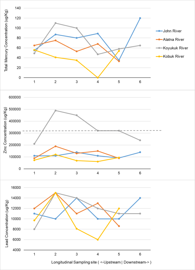
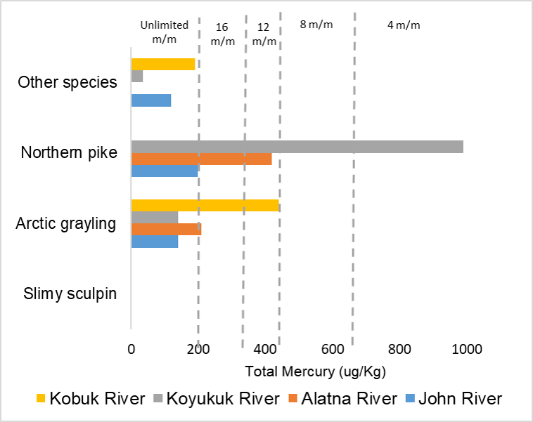
Similar to Dalton Highway sites, most fish sampled were below the State of Alaska levels where consumption of fish begins to have limited meals/month recommendations for women of child bearing age, nursing mothers, and children. However, northern pike collected from the Koyukuk River (two of six fish), John River (one of four fish), and Alatna River (four of ten fish) contained levels that are above “unrestricted” consumption guideline thresholds (i.e., sensitive populations should limit number of meals per month, see below graph). Additionally, a large Arctic grayling in the Kobuk River (one of ten fish) and an Arctic grayling in the Alatna River (one of eleven fish) had levels of mercury high enough to warrant limiting consumption to 12-16 meals per month for people sensitive to effects of the contaminant. Overall, no fish reached the “do not eat” threshold set by the State of Alaska.
PFAS: Trace levels or no detections in fish from all western Brooks Range rivers that were tested
Outputs/Outreach
-September 2024 presentation of preliminary results to American Fisheries Society (AFS) Annual Meeting
-March 2025 presentation of results to community of Galena, AK
-Dalton Highway brochure:
-Brooks Range Rivers brochure:
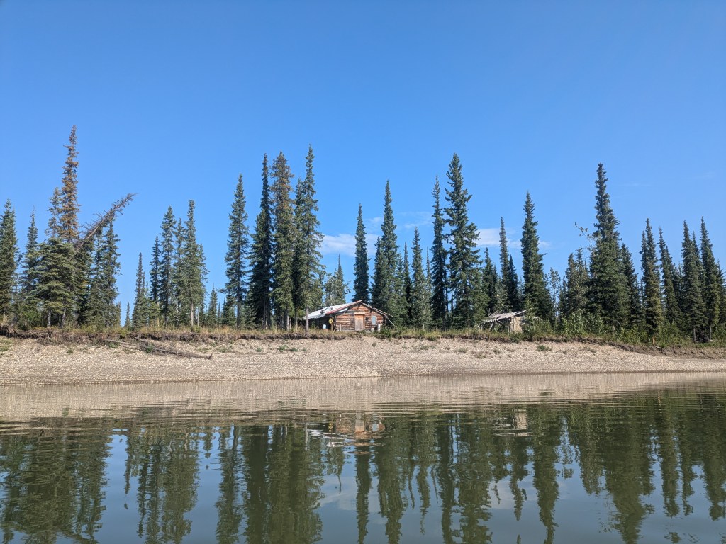
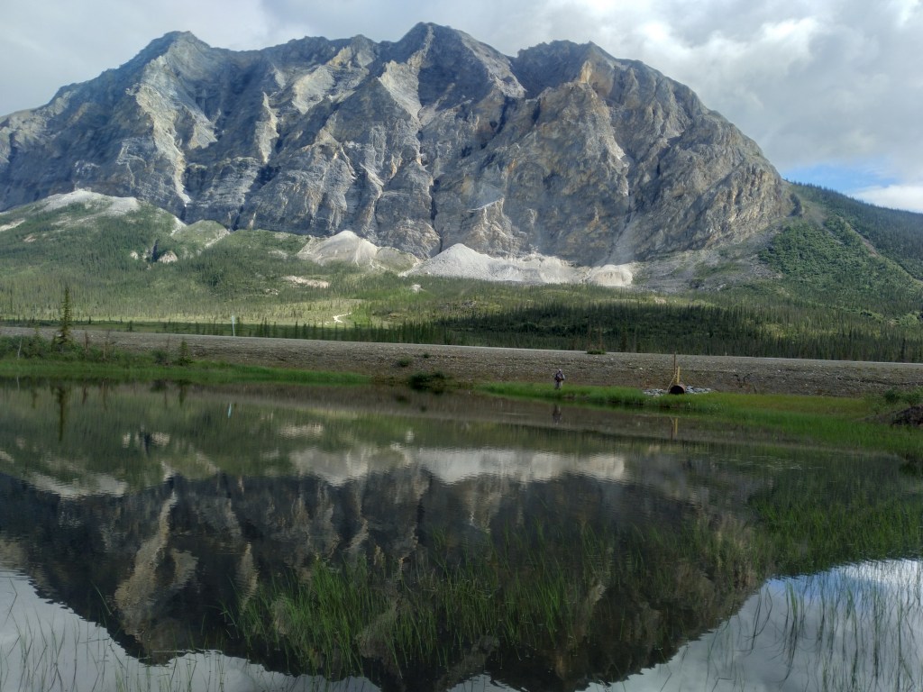
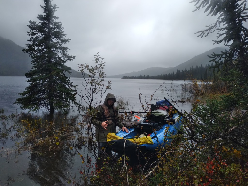
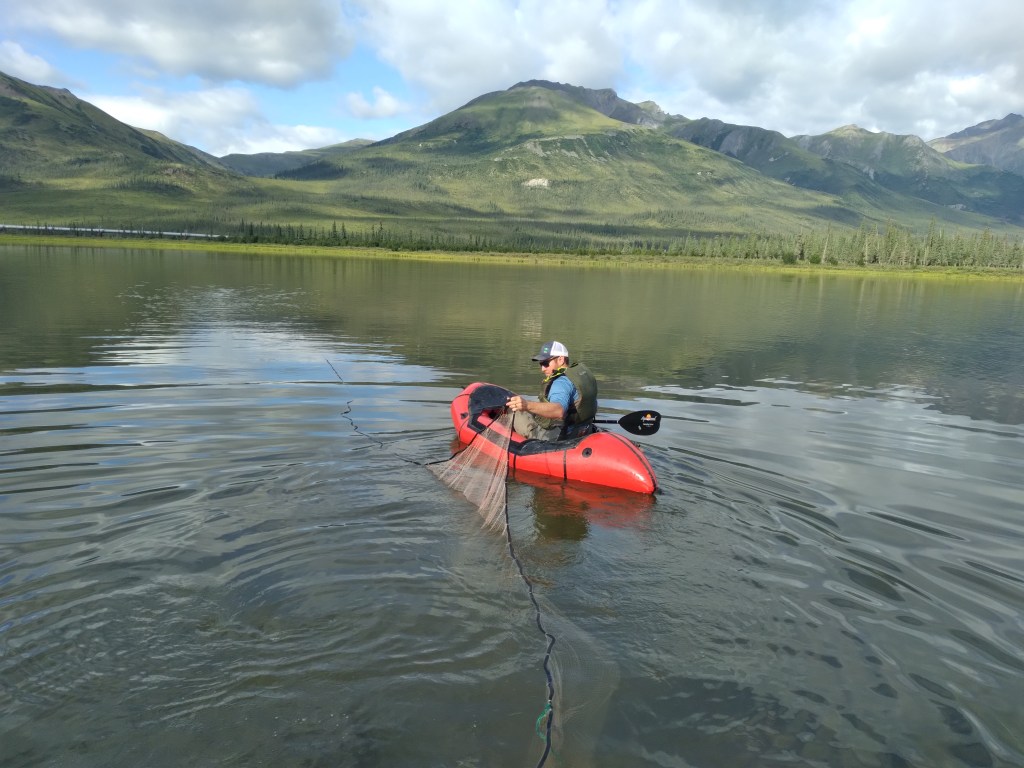
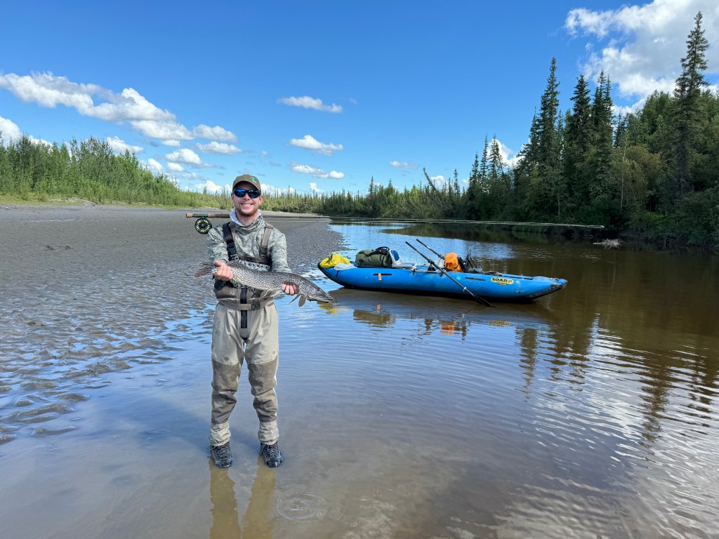
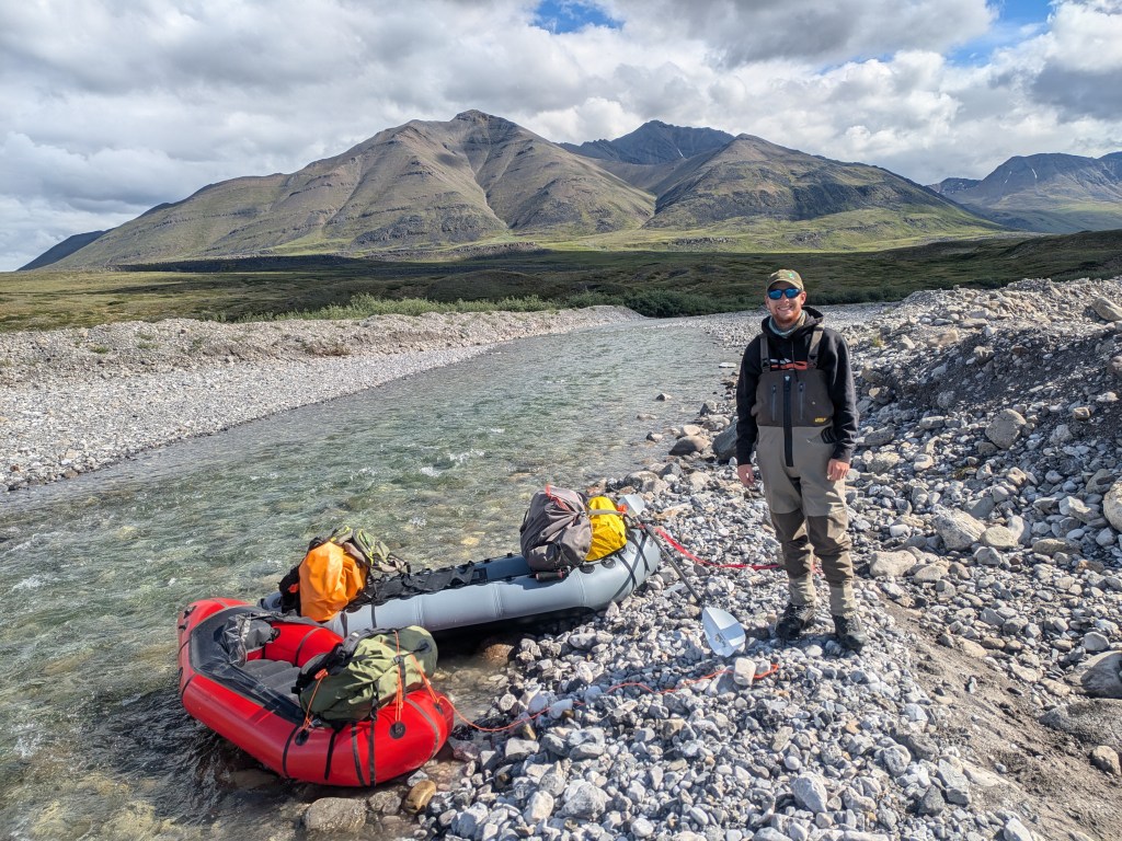
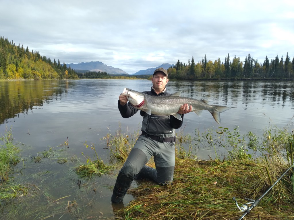
Additional Photos

This project was funded by the U.S. Bureau of Land Management. Activities were conducted under Alaska Department of Fish and Game and other relevant research permits
