Denali National Park Eldorado Creek Reclamation Project Spring 2026 Update
The U.S. National Park Service is planning for renewed field efforts in 2026 at a former placer mine reclamation site in the Kantishna Hills near the end of the Denali Park Road. The project reach at lower Eldorado Creek lies within the Moose Creek floodplain and is among the most mining-impacted areas in the former Kantishna Mining District. Moose Creek is a clear-water, anadromous watershed and tributary to the Kantishna River, which drains the southern end of the Kantishna Hills into the Yukon River drainage basin.
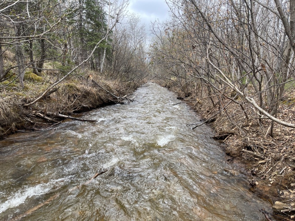
It is unclear if Eldorado Creek was ever a salmon rearing stream – environmental effects of extensive placer mining in the lower reaches and lode mining in headwater tributaries predate any fish surveys that have been completed. Grayling, however, are a resident species of this low volume, clearwater stream and the headwater habitat of Eldorado is incredibly rich summer foraging habitat.
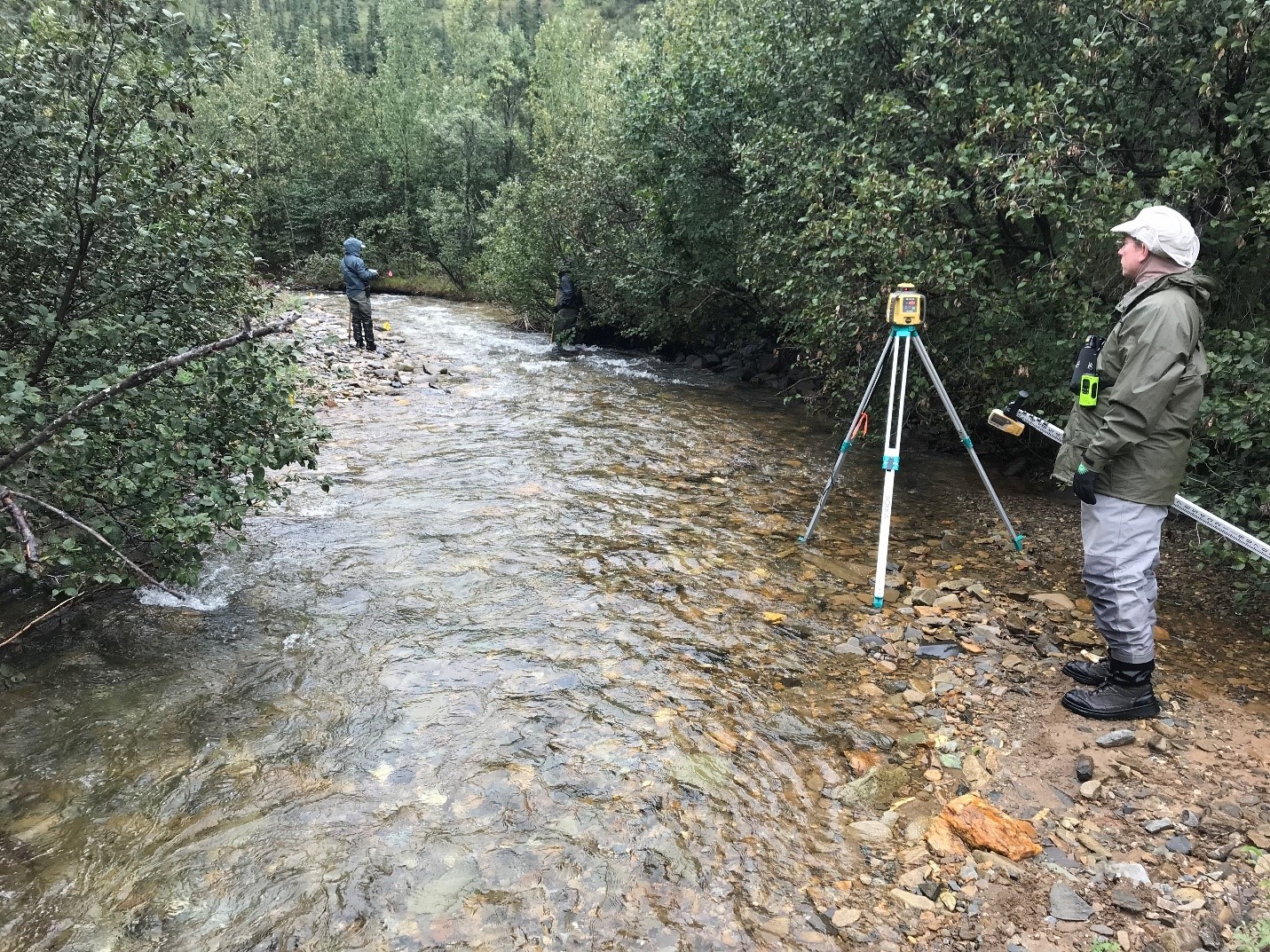
Eldorado Creek reclamation work was stalled out first by the pandemic in 2020 and again with the road closure at the Pretty Rocks landslide in 2021. With long-awaited administrative road access forecasted for mid-July 2026 and full access in 2027, NPS staff are gearing up to complete field work this summer, including physical habitat surveys, channel mapping, Stream Quantification Tool analysis, and discharge measurements. This summer’s focused work will build on previous landscape-scale stream assessments completed in partnership with the BLM and utilizing their Lotic Assessment, Inventory, and Monitoring (AIM) framework.
Please contact Shannon Coykendall at shannon_coykendall@nps.gov with any questions or comments.
Read more from NPS about restoration of mined lands in the Kantishna area
Read more about NPS plans for Eldorado Creek
