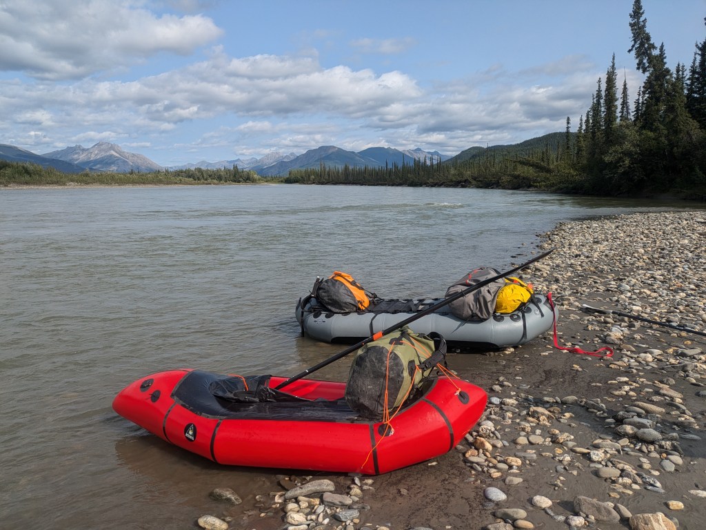
In July, a WCS fisheries field crew visited three rivers in the Brooks Range of Alaska to collect fish, sediment, aquatic vegetation, and aquatic invertebrate samples to assess concentrations of contaminants. These rivers, the Alatna, John, and Koyukuk remain largely undeveloped, except for the Dalton Highway and Trans-Alaska pipeline adjacent to the Koyukuk River. This work relates to our ongoing project to collect baseline contaminants data from fish and aquatic ecosystems of northern Alaska. Release of metals and other harmful compounds into these systems from thawing permafrost and impending industrial developments such as the Ambler Road are the impetus for collecting this data.
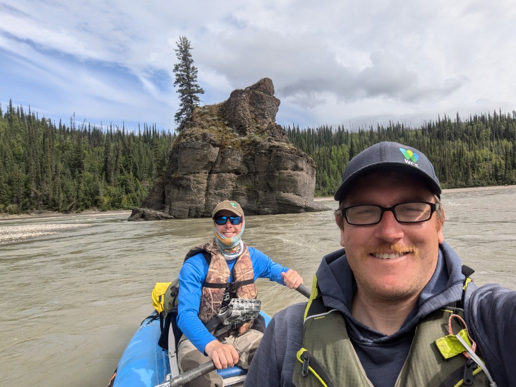
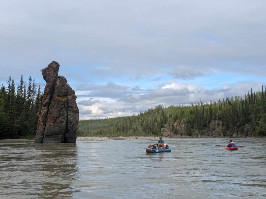
First, in early July, we floated the Koyukuk River from the town of Coldfoot, AK along the Dalton Highway to the village of Bettles, AK. This 50+ mile float is quite scenic, including bedrock cliffs, Bishop’s Pulpit rock, and the historic mining settlement of Tramway Bar, but features no whitewater and few hazards. Water levels were slightly high, especially at the beginning of our float, but we managed to use a combination of tangle netting and angling to collect northern pike, Arctic grayling, whitefish, longnose suckers, slimy sculpins, and lake chubs. We also sampled aquatic invertebrates, sediment, and vegetation at several locations. No other float parties were encountered, though motorized boats with locals from Bettles were seen on the final day of the trip.
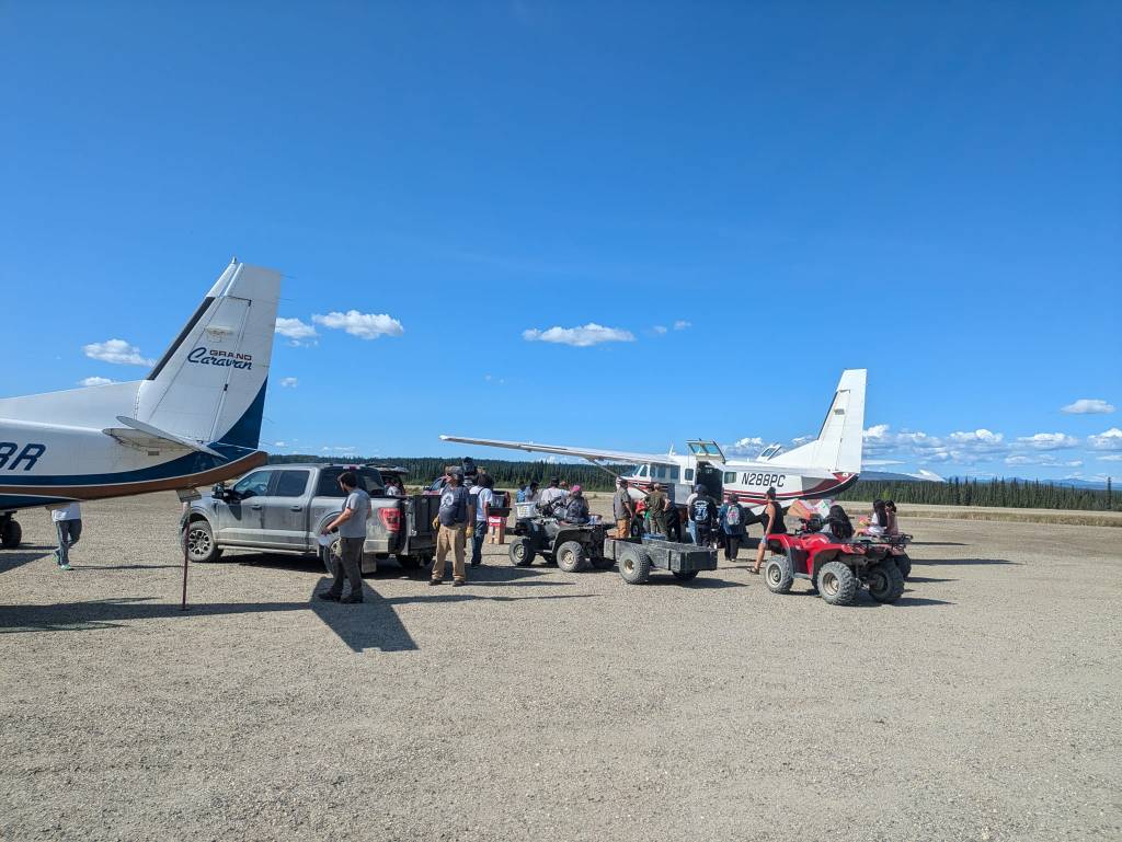
Next, we embarked on a float trip of the John River. This journey began via a bush flight to the small Inupiat community of Anaktuvuk Pass, and we floated 130+ miles to the village of Bettles, AK, collecting fish in the lower reaches of the river downstream of where the Ambler Road might cross. Arctic grayling, whitefish, and pike were collected, though fish abundance was low and it would have been beneficial to encounter additional species. As with the Koyukuk River, we also collected sediment, vegetation, and invertebrate samples. On this trip, no other parties were seen on the river, though we did pass near the bush airstrip of Crevice Creek and noticed some airplane activity.
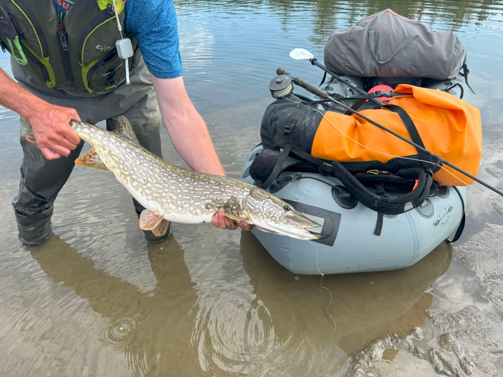
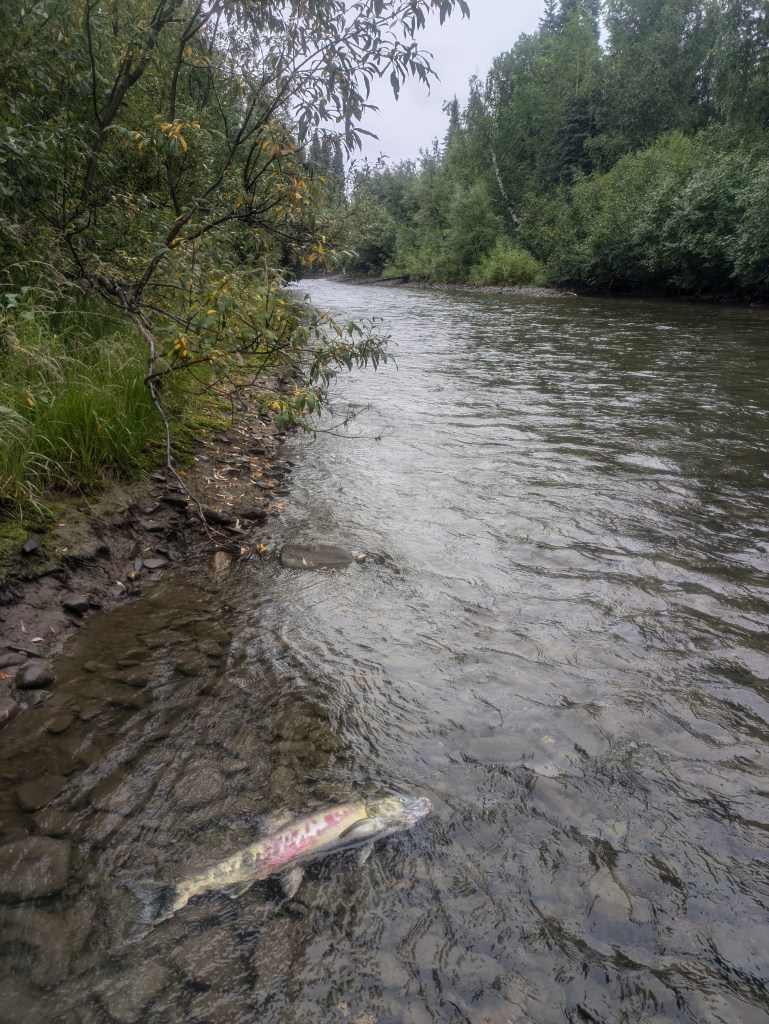
Finally, we floated 40 miles of the lower Alatna River, downstream of where the Ambler Road might cross. Because of challenges with floatplane logistics, we hired an elder from the Koyukon village of Allakaket to transport us upstream in his motorized boat. After being dropped off, we floated for several days and collected our samples. Grayling and pike were particularly abundant, and we also observed large groups of spawning chum salmon. We were hoping to catch a wider range of species on this trip, but ended up with primarily pike and grayling.
While floating the Alatna, we observed four Chinook salmon in spawning coloration in a small tributary and took photographs. Upon returning to the office, we noticed that the Alaska Department of Fish and Game Anadromous Waters Catalog (AWC) did not list Chinook being present in this stream, so we submitted a nomination to have them added. The AWC is important because it allows for extra protections for streams that are traveled by migratory fish, which are especially vital for subsistence, sport, and commercial fisheries.
Next Steps
Fish muscle tissue and other samples collected during this fieldwork are awaiting shipment to laboratories outside of Alaska to be analyzed for mercury, lead, zinc, arsenic, copper, and PFAS concentrations. Results will likely be received and summarized sometime during the winter of 2024-2025. Results from this effort and related 2023 fish collection will be communicated to local communities, and to relevant regulatory and scientific bodies for human health consideration.

Leave a comment